 Catalogue PIGMA
shellfish production area
Type of resources
Available actions
Topics
Keywords
Contact for the resource
Provided by
Years
Representation types
Update frequencies
status
-
This map shows the different Fisheries Local Action Groups (FLAGs) mobilised by the implementation of Axis 4 of the European Fisheries Fund (EFF) to design and implement integrated local development strategies for the sustainable development of fisheries areas. The FARNET Support Unit acts as a platform for networking between fisheries areas and as support for the FLAGs. Links to related websites are displayed when a FLAG is clicked.
-
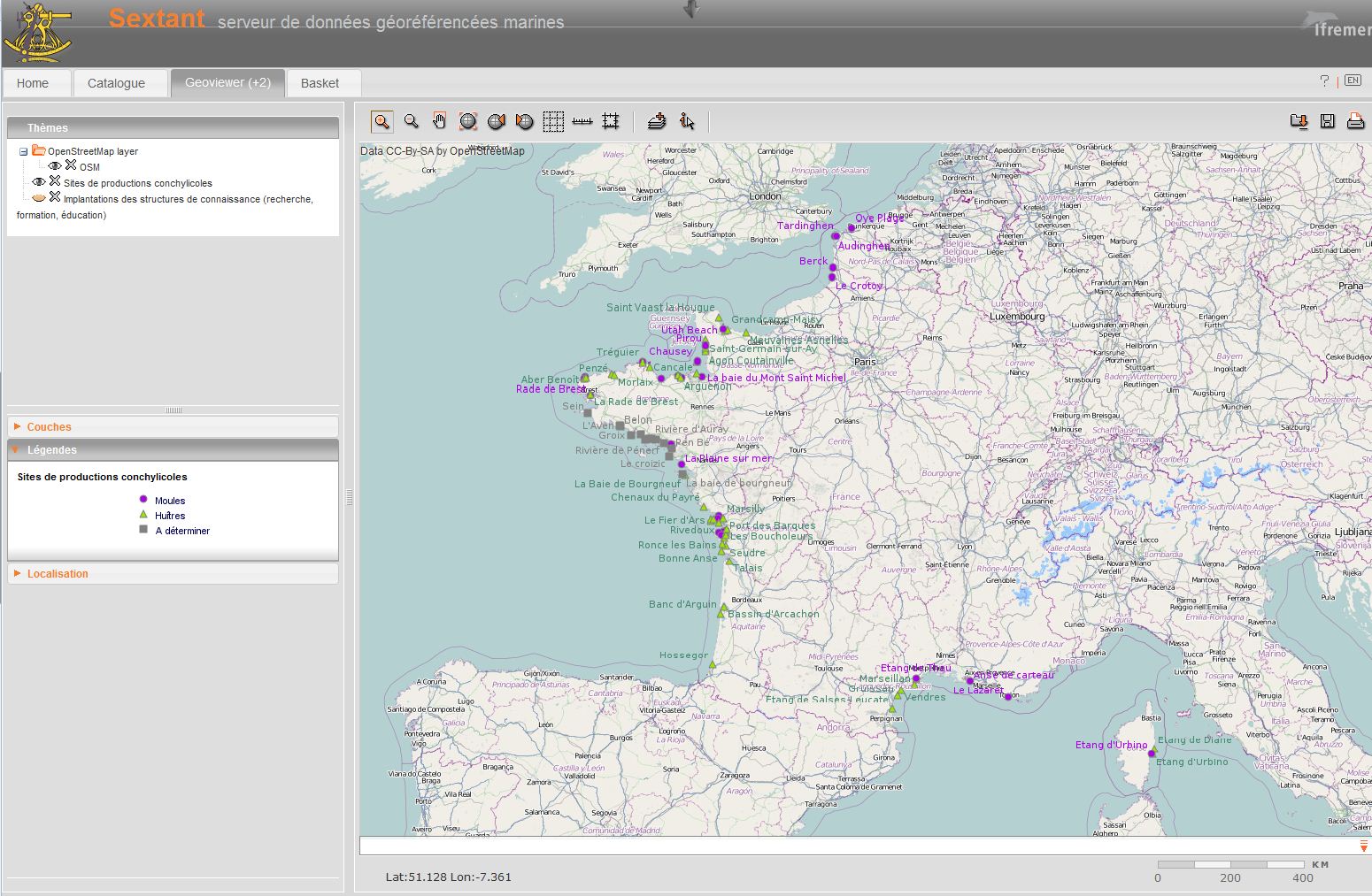
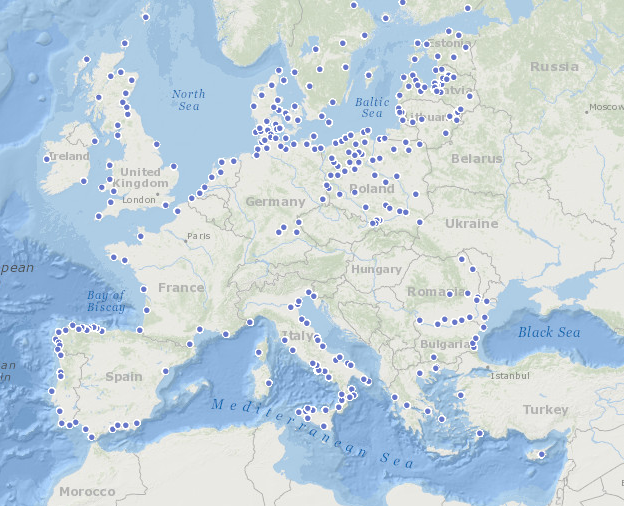
Shellfish farming areas can have different meanings. Sometimes their identification is prescribed and used for health classification of production areas. In Euroshell project, the choice was made to map the production areas whose identification makes sense for both scientists and professionals. A limited number of areas is then showed, often corresponding to a hydrographic reality. Indeed, the shellfish industry is mainly installed in estuaries, river mouths, bays, fjords, estuaries or lagoons. This map shows the shellfish production sites, which include several areas. Some information is given on species produced, the number of companies and / or concessions and / or producers, the approximate amount of production.